Rochford Landscapes has partnered with MappLab to bring high accuracy spatial mapping into how we design and build.
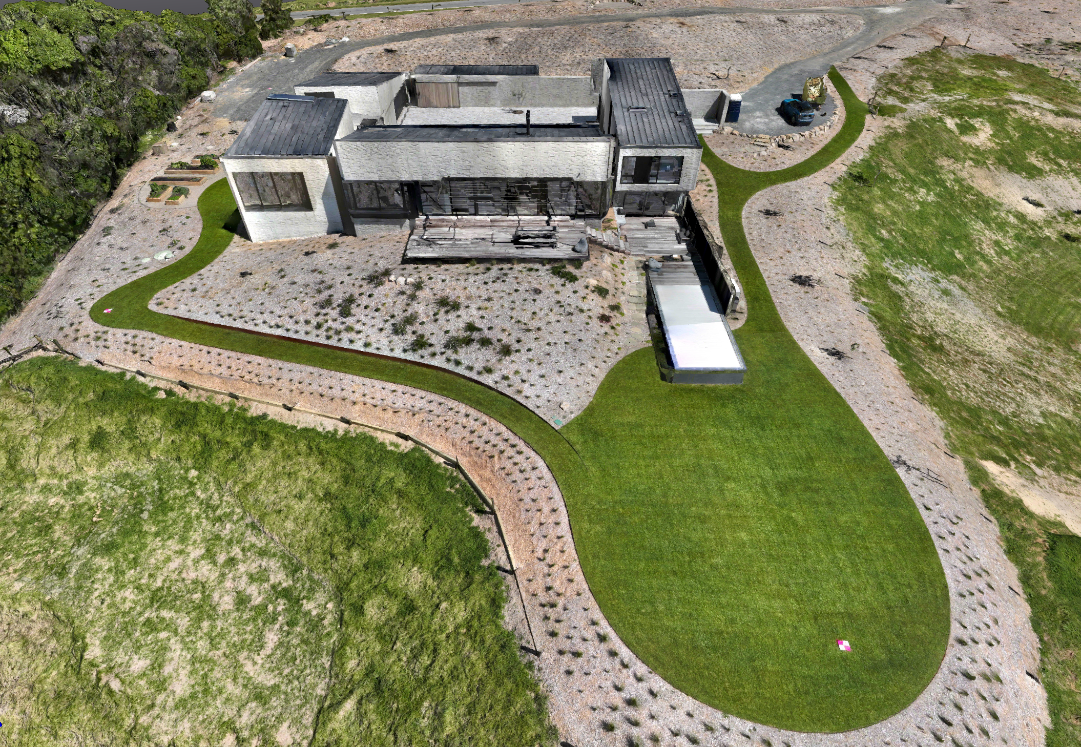
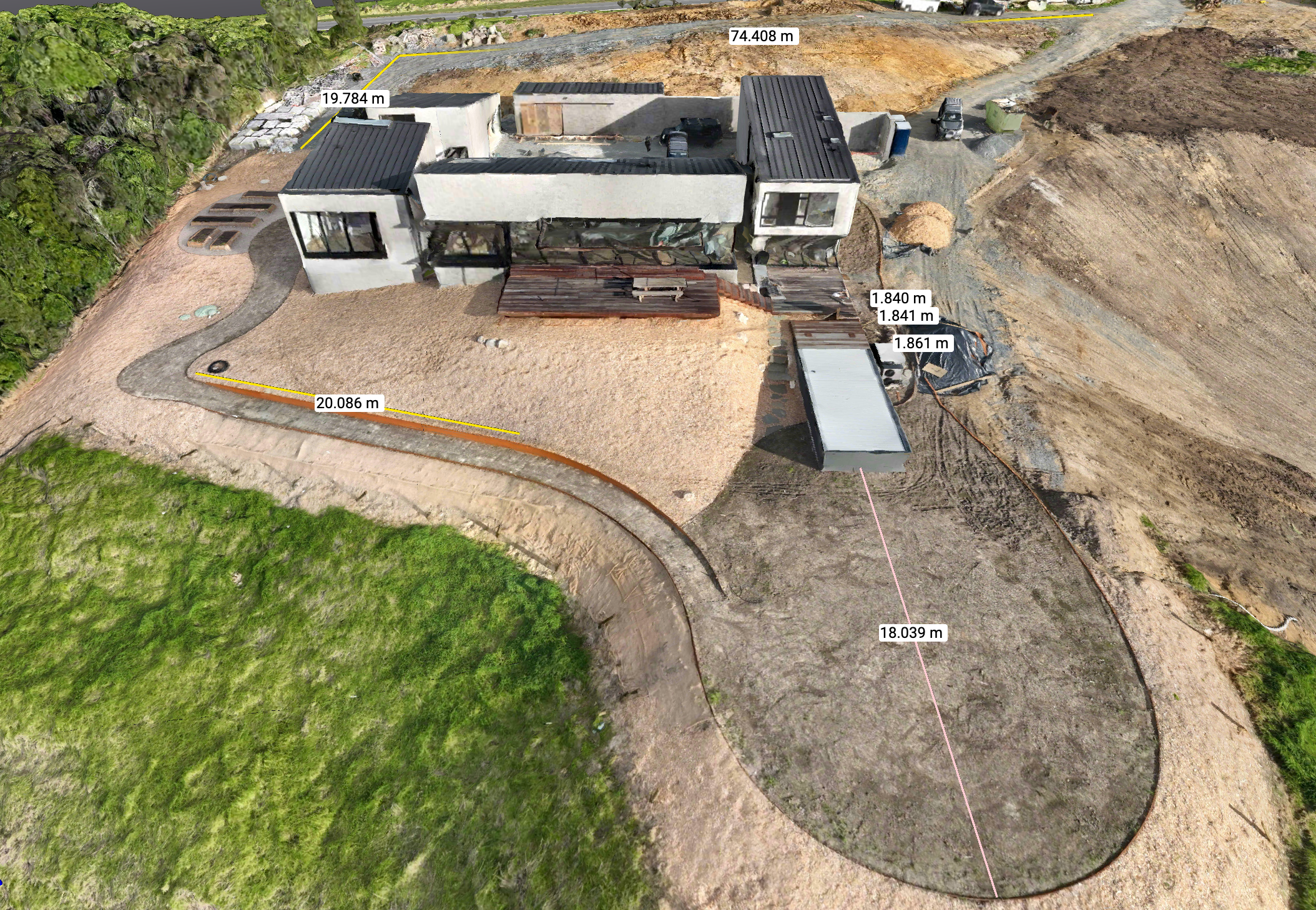
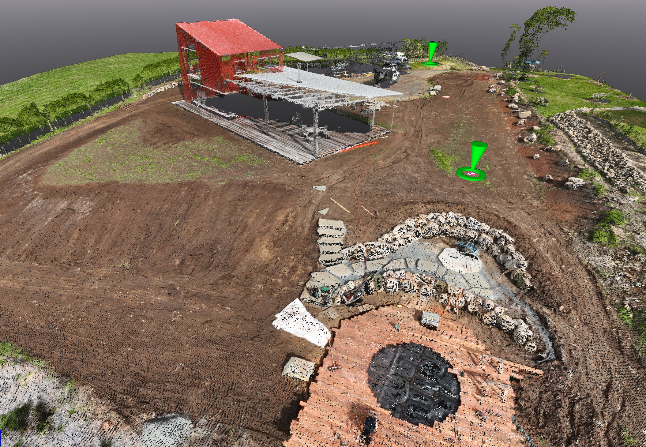
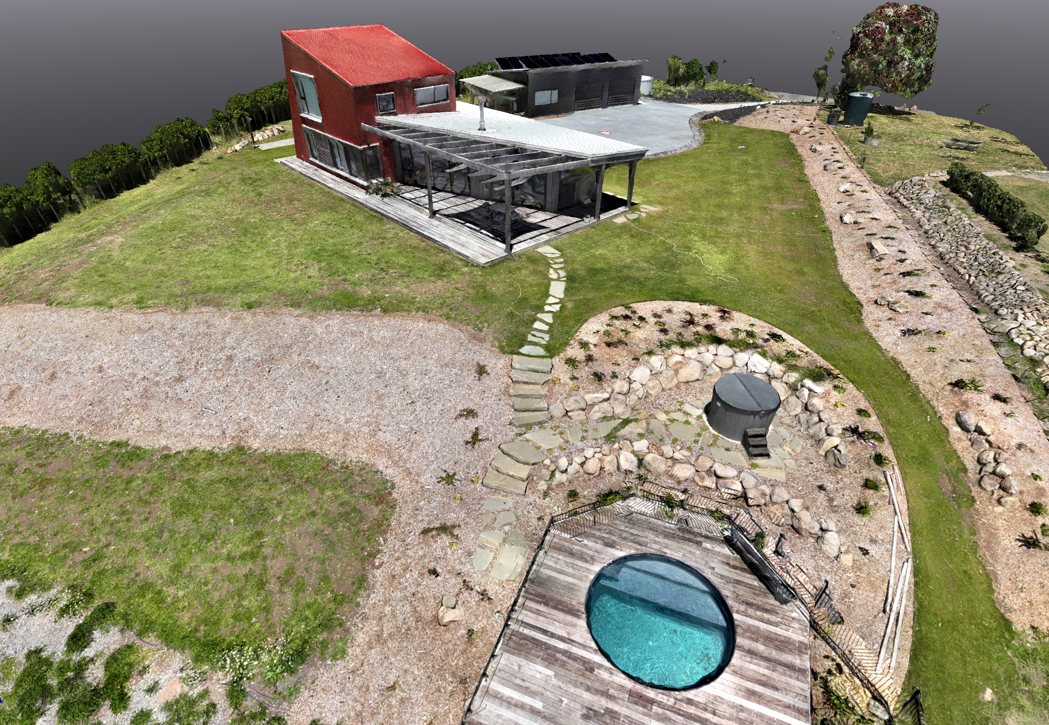
Using drone capture, sites are mapped with centimetre level precision, so there’s far less guesswork from the start.
On most sites, getting accurate levels and measurements isn’t quick. It usually means someone like Alex, our Mangawhai Operations Manager, spending a full day walking the site, pulling heights, checking levels, and trying to piece it all together.
We’ve had jobs where Alex and his guys did exactly that, a full day just surveying to get the basics.
That’s where Todd sees the value.
Instead of losing that time on site, Claudio at MappLabb flies it once and captures everything. Heights, levels, contours, volumes. The kind of detail that would normally take two guys all day, and still not be as accurate, especially once you’re dealing with curves and tricky level changes.
That data is then turned into an accurate digital terrain model before we even properly get into site. Which means things like cut and fill are planned from day one, not figured out halfway through the job.
The team often says “we need more detail” and usually that means someone making it work on site. Filling gaps, adjusting as they go. Claudio bridges that gap. You’re not guessing anymore, you’re working off real data.
Everyone is working off the same information. What’s drawn is what gets built.
And that’s where the saving comes in for the client. Better planning, fewer surprises on site, and more accurate decisions around pricing, ordering, and sequencing.
It also means we can track progress properly. There’s a clear record of what’s been done and what’s next.
The other part people don’t always realise is the client owns that data. It’s there for the life of the property, whether that’s future work, changes, or maintenance.
At the end of the day, it gives us control. Less guesswork, more clarity, and a better outcome across the board.